Western U. S. Mississippi to Pacific 1857-8 Emory large topo map Wheat #915
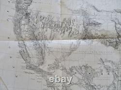
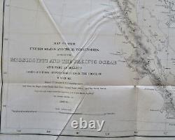
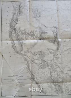
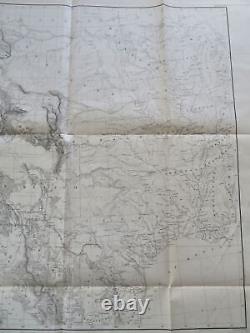
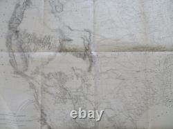
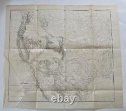

Mississippi to Pacific 1857-8 Emory large topo map Wheat #915. Map of the United States and Their Territories Between the Mississippi and the Pacific Ocean and Part of Mexico. Compiled from Surveys Made Under the Order of W. Old Maps, 19th Century Maps, Americana, United States, Western U. Mississippi River, Pacific Ocean, California, Utah, Nevada, Rocky Mountains, Topographical Maps.
Significant mid-century map of the American West, synthesizing the Governments explorations and findings. Of note for recording the then still vast areas officially "unexplored". A google search of this Emory map will reveal it's historical significance.
Light uniform paper age toning, original fold lines, slight paper creasing at lower left as seen, overall paper retains flexibility and integrity, remaining clean - a pleasing and well preserved visual example. 22 3/4" x 25 1/4". 20 1/8" x 22 1/2". List of Maps of America in Library of Congress. Maps of Texas and Southwest.
Streeter, Public Sale of his Americana Library.

