Western Africa Strait Of Gibraltar 1860 (1898) Very Large Antique Sea Chart
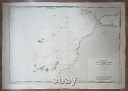
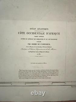
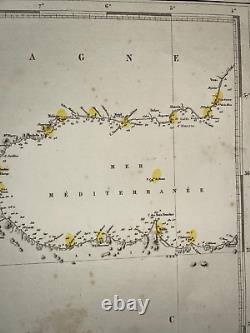
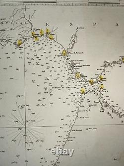
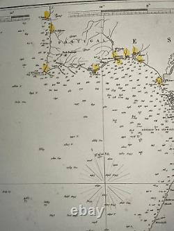
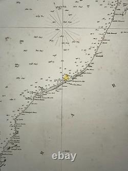
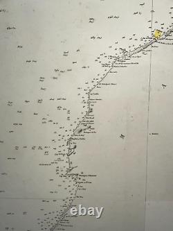
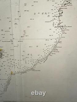
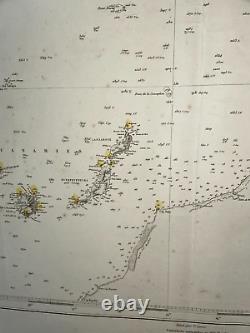
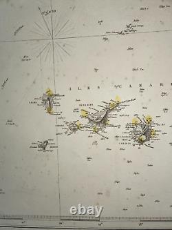
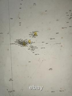


Partie comprise entre le détroit de Gibraltar et le Cap Bojador. Publiée par ordre de l'Empereur. Sous le Ministère de Son Excellence M l'Amiral Hamelin, Secrétaire d'Etat au Département de la Marine. Au dépot des Cartes et Plans de la Marine en 1860. Very large antique sea chart of western Africa, southern Spain, Canary islands, and Madeira islands, engraved by Chassant.
The text is by V. On the margin, the watermark Arches.
Service hydrographique de la marine. Size with margins : 100 x 70 cm / 39,3 x 27,5 inches. Paris, 1898 (1st edition 1860) , Service Hydrographique de la marine.
The Depot de la Marine, also named as Depot des cartes et plans de la Marine, was the official institution of maps in F. This institution was the contributor of the knowledge in France about marine and navigation.
Most of mapmakers worked for it, as Nicholas Bellin, Buache, Bauche, Bonne and Beautemps-Beaupré. Epot became in 1806 the Naval Hydrographic service, and still exists today with the name SHOM (service hydrographique et océanographique de la marine). We send maps by DHL. WE DON'T SELL LASER AND COPIES MAPS, ALL WE SELL IS ORIGINAL AND ANTIQUE. Due to the age an type of paper, some imperfections are to be expected.Please examine the images provided carefully, and if you have any questions please ask and we will be happy to help you. This item is in the category "Antiques\Maps, Atlases & Globes\Africa Maps".
The seller is "efi6" and is located in this country: FR. This item can be shipped worldwide.
- Date Range: 1800-1899
- Type: Nautical Map
- Printing Technique: Copper Plate
- Original/Reproduction: Antique Original

