
RHINE RIVER c. 1680 FREDERIK DE WIT LARGE ANTIQUE MAP 17TH CENTURY
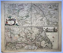
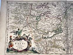
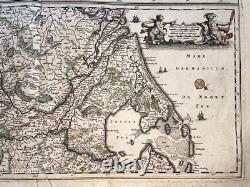
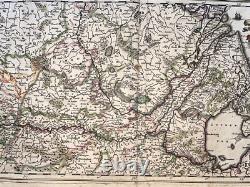
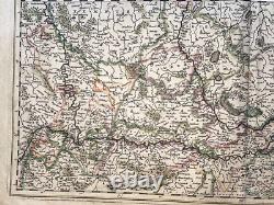
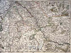
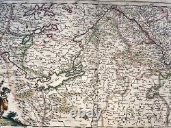

Totius Fluminis RHENI Novissima Descriptio ex officina F. Nice large antique copper engraved set of two maps, depicting the Rhine river. The river flows through the eastern part of Germany and transitions to the bottom map to show its course through western Germany, the Netherlands and into the North Sea. The upper map has a decorative title cartouche attended by the trumpeting Angel of Fame, a Roman soldier, and a pair of devotees of Bacchus.
Frederik De Wit, also written Frederic, Frederico and Fredericus. His surname is also written as De Witt and De Widt. He was born in Gouda and died in Amsterdam. He was the company founder. He edited his first atlas "atlas maior" around 1662.He published a nautical atlas in 1675. After his death, his wife continued to hold the firm. Their son, liquidated the firm and most of the maps went to Pierre Mortier who worked after with Covens and founded the firm Covens et Mortier, one of the most famous publishing maps and views of the 18th century. Size with margins : 59 x 50,5 cm / 23,2 x 19,6 inches.
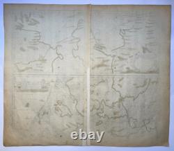
A Certification of Authenticity can be issued on request. View My Other Items For Sale. WE DON'T SELL LASER AND COPIES MAPS, ALL WE SELL IS ORIGINAL AND ANTIQUE.Due to the age an type of paper, some imperfections are to be expected. Please examine the images provided carefully, and if you have any questions please ask and we will be happy to help you.