
Paris Chasses Du Roy 1737 Large Unusual Antique Map 18th Century
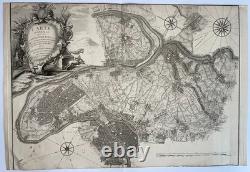
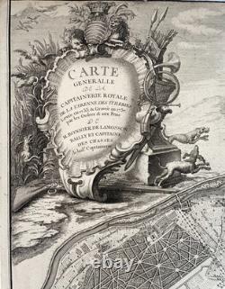
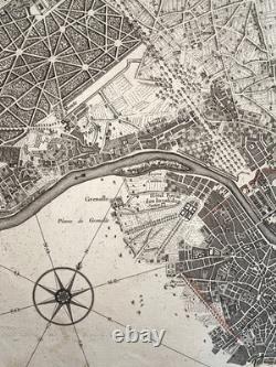
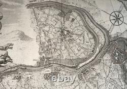
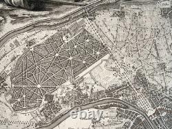
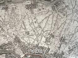
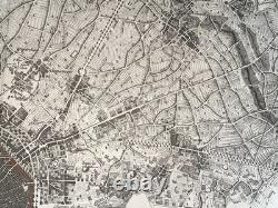
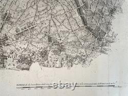
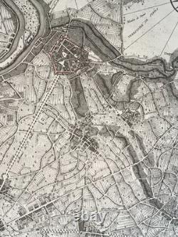
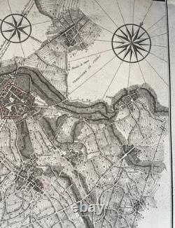
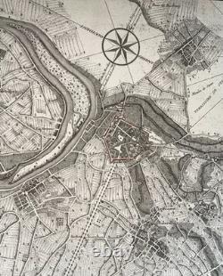
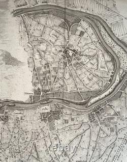

Carte generale de la Capitainerie Royale de la Varenne des Tuileries, levée en 1733 & gravée en 1737 par les Ordres & aux frais de M. Bonnier de Lamosson, Bailly et Capitaine des Chasses de la d. Very large antique copper engraved map. A major cartographic and historical document from the 18th century, raised in 1733 and engraved in 1737.
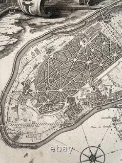
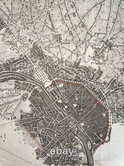
The engraving was executed by the artist Gamot. A "capitainerie" (captaincy) was a special jurisdiction protecting game for the pleasure of the King (Louis XV). Created in 1705, the captaincy of the Tuileries was born from the division of the gigantic Varenne of the Louvre which became too heavy to manage. The map offers a topographic view of remarkable precision for the time, covering the western and northern suburbs of Paris, as well as the banks of the Seine. It includes in particular: the current Seine-Saint-Denis, with Aubervilliers, Bobigny, Drancy, Dugny, Épinay-sur-Seine, La Courneuve, Le Bourget, Le Pré-Saint-Gervais, L'Île-Saint-Denis, Noisy-le-Sec, Pantin, Pierrefitte-sur-Seine, Romainville, Saint-Denis and Saint-Ouen.
Western Paris with agricultural areas, the Bois de Boulogne, Gennevilliers, Clichy, as well as fine details on the islands of the Seine (such as the île Saint-Germain or the île de Sèvres). It precisely shows the organization of the agricultural plains surrounding Paris in the 18th century. It was used to delimit wooded areas and bushes where game was hiding, essential for the organization of hunts.
The large cartouche with hunting motifs at the top left and the wind roses are very well inked and perfectly legible. Size with margins: 80 x 54,5 cm / 31,4 x 21,2 inches.He paper has retained a beautiful whiteness, small foxing in bottom. Edition: 1737, 18th century, Paris. A Certification of Authenticity can be issued on request. WE DON'T SELL LASER AND COPIES MAPS, ALL WE SELL IS ORIGINAL AND ANTIQUE.
Due to the age an type of paper, some imperfections are to be expected. Please examine the images provided carefully, and if you have any questions please ask and we will be happy to help you.