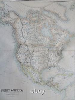
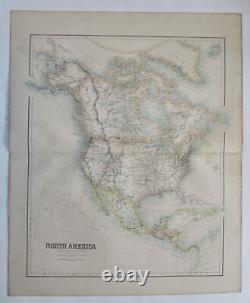
North America Western Territories Gold Regions c. 1855 Fullarton large map


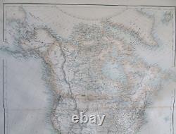
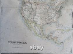
North America Western Territories Gold Regions c. (Old Maps, 19th Century Maps, North America, United States, Canada, Mexico, Western Territories, Gold Regions, California). 1855-65, Edinburgh & London by A. Mid-19th century folio sheet color lithographed map. In the American West we see elongated territorial configurations for several states, including Washington, Oregon, Utah, Nebraska, Kanzas, New Mexico, etc. Near San Francisco is GOLD marking where it had then recently been discovered.
Paper and image remains mostly clean and well preserved with a fine patina and visual appeal. Some minor spotting in Atlantic area and a few dusty spots, otherwise lovely example. Original fold line as issued. 22 3/4"H x 18 3/4"W.
19 1/4"H x16 1/2 "W. Tooley's Dictionary of Mapmakers, vol.
