Large Denoyer-Geppert Visual Reielf Series, Sectional Wall Map of Western U. S
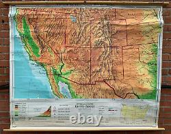
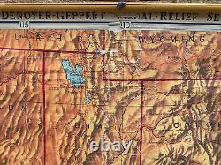
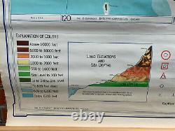
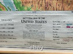
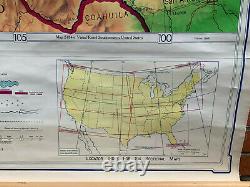

This Sectional Map of the United States was published in 1963 by the Denoyer-Geppert publishing company as a part of the Denoyer-Geppert Visual Reielf Series. This map features a key that indicates the populations of major cities as well as elevations in feet and an explanation of coloring. There are two small insets: Locator Index for Six Maps, and Land Elevations and Sea Depths. This particular sectional map focuses on the Southwestern United States and includes the following: Arizona, California, Nevada, Nebraska, Texas, Idaho, New Mexico, Wyoming, Colorado, Kansas, Oklahoma, and Utah.
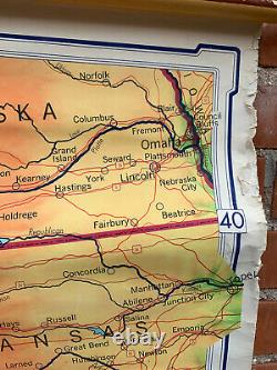
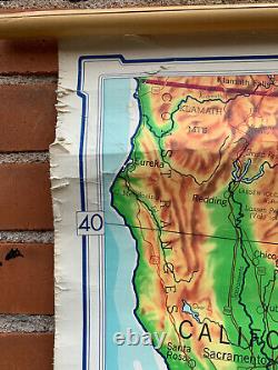
Condition: This map is in fair condition, the print and coloring are in good condition, clear and bright. However there is slight ripping and tearing along the upper left and right margins.
Additionally there is some cracking down the center of the map that slightly disrupts the print. Measurement of Map: 63.25''' wide by 52.5'' tall. Measurement with wooden dowels: 67.75'' wide by 43'' tall.
The item "Large Denoyer-Geppert Visual Reielf Series, Sectional Wall Map of Western U. S" is in sale since Monday, August 31, 2020. This item is in the category "Antiques\Maps, Atlases & Globes\North America Maps". The seller is "colonamaps" and is located in Boulder, Colorado.This item can be shipped to United States.
- Cartographer/Publisher: Denoyer-Geppert Company
- Original/Reproduction: Vintage Original
- Format: Wall Map
- US State: AZ, CA, CO, NM, NV, UT
- Date Range: 1960-1969
- Country/Region: United States of America

