
Bohemia Dated 1742 Homann Hrs Large Antique Map 18th Century
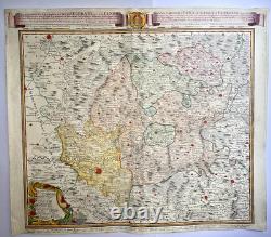
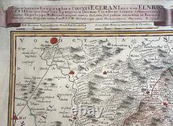
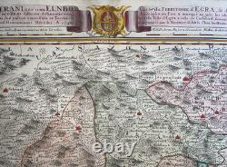
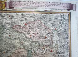
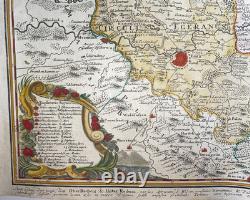
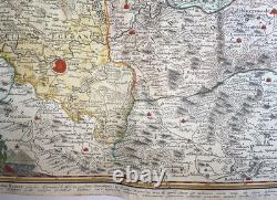
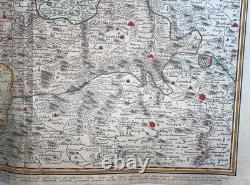
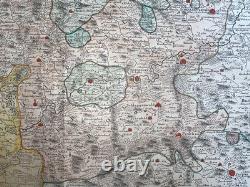
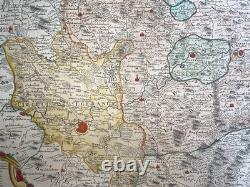
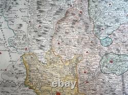
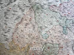
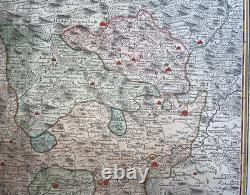

Repraesentatio Geographica a Circuli Egerani nec non Elbogensis.. "Carte du territoire d'Egra, & du Cercle d'Elnbogue, qui en est limitrophe, ou l'on a marqué u huste les chemins de plusieurs Endroits & particulièrement celui de la Ville d'Egra a celle de Carlsbad, suivant le grand original de Mr Muller, corrigée ça & là, & augmentée par le Territoire d'Asch, Chez les Heritiers de feu Mr Homan".
Large detailed antique copper engraved map of the region of Egra (Cheb), in Bohemia, by Homann Heirs. The bilingual title indicates that the map was intended for an international audience.
The map covers the historical Eger District (Cheb) and the Elbogen (Loket) Circle in western Bohemia, today in the Czech Republic. He founded his company in 1702. In 1705, he became the Geograph of the Emperor Charles VI. In the same year, he was also Member of the Prussian Academy of Sciences in Berlin. They protected the authors in all scientific fields such as printers, copper engravers, map makers and publishers.
In 1716 Homann published his "Grosser Atlas ueber die ganze Welt" (Grand Atlas of all the World). Some maps were drawned with the engraver Christoph Weigel the Elder.
He was succeeded by the Homann Heirs company, which was in business until 1848. Size with margins : 61,5 x 53 cm / 24 x 20,8 inches. Three very small holes in right upper margin. A Certification of Authenticity can be issued on request. WE DON'T SELL LASER AND COPIES MAPS, ALL WE SELL IS ORIGINAL AND ANTIQUE.Due to the age an type of paper, some imperfections are to be expected. Please examine the images provided carefully, and if you have any questions please ask and we will be happy to help you.