America Western Hemisphere 1780 Rigobert Bonne Large Antique Map 18th Century
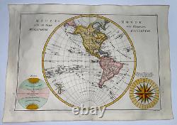
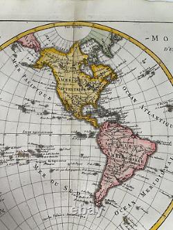
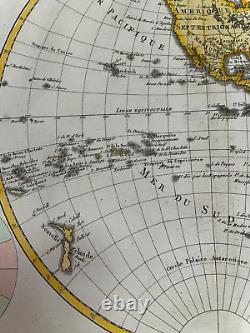
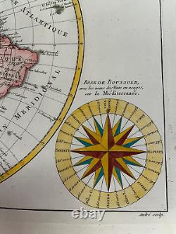
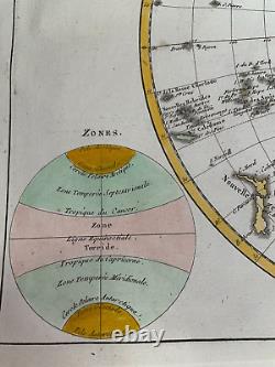

MAPPE-MONDE SUR LE PLAN D'UN MERIDIEN. Fine copper engraved map showing North and South America with the Atlantic & Pacific Islands and New Zealand. At bottom right is a large wind rose called "Rose de Boussole, " showing wind directions taken from charts in use in the Mediterranean Sea. A second diagram in the lower left corner balances the composition, with information on the poles and the circles of the earth. The map was published with Nicolas Demarest in his "Atlas Encyclopedique" in 1788.
39,5 x 28 cm / 15,3 x 11 inches. Very good condition, handed colored, on strong paper. A Certification of Authenticity can be issued on request. View our Other Items for Sale. WE DON'T SELL LASER AND COPIES MAPS, ALL WE SELL IS ORIGINAL AND ANTIQUE.
Due to the age an type of paper, some imperfections are to be expected. Please examine the images provided carefully, and if you have any questions please ask and we will be happy to help you.

