1855 Large Antique Map-colton- World On Mercator's Projection Plus Western Hemis
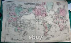
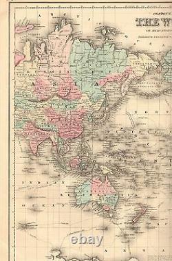
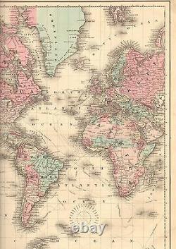
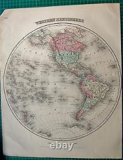
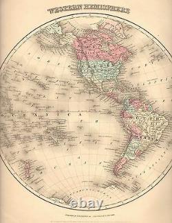

Large highly decorative hand coloured detailed map by G W Colton, bright colours. Double page with fold as issued. Verso one side is Western Hemisphere map. Authentic antique map, not a modern copy. Won't fit on scanner.
Three images provided, one photo showing the full sheet and two scans of roughly half the map each to display the detail. Page Size: Approx 710 x 440mm (28 x 17.5 Inches). Provenance: Colton's General Atlas, drawn by G Woolworth Colton, published by J H Colton, New York and Bacon & Co, London, 1863. Condition: Please look at the picture provided. GUARANTEED OVER 150 YEARS OLD.
The picture included here is of the actual print for sale, not a stock or library print. We endeavour to describe any faults but please look at the picture. Virtually all antiquarian maps and prints are subject to some normal aging due to use and time which is not obtrusive unless otherwise stated. This is an authentic print, published at the date stated above. It is not a modern copy.
The item "1855 LARGE ANTIQUE MAP-COLTON- WORLD ON MERCATOR'S PROJECTION PLUS WESTERN HEMIS" is in sale since Friday, July 5, 2019. This item is in the category "Antiques\Maps, Atlases & Globes\World Maps". The seller is "historyinprint" and is located in Holmfirth. This item can be shipped to North, South, or Latin America, all countries in Europe, all countries in continental Asia, Australia.
- Format: Sheet Map
- Region: World
- Map Type: Historical/ Political
- Antique/ Modern: Antique
- Map View: World
- Year: 1855

