Large Antique Western

1780 Map of Western Hemisphere Rigobert Bonne Large 18th Century Map
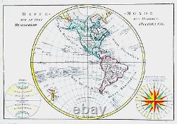
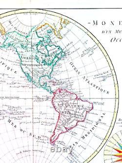
1780 Map of Western Hemisphere Rigobert Bonne Large 18th Century Map

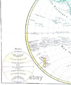
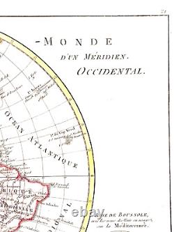

1780 Map of Western Hemisphere Rigobert Bonne Large 18th Century Map
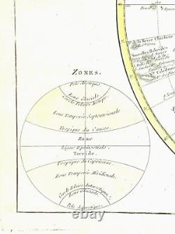
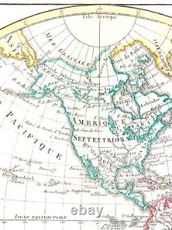
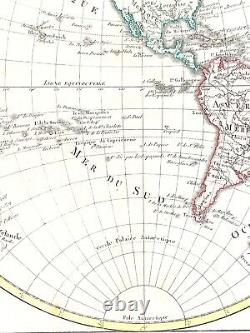
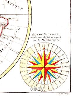
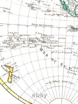
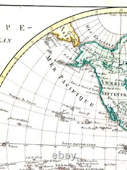
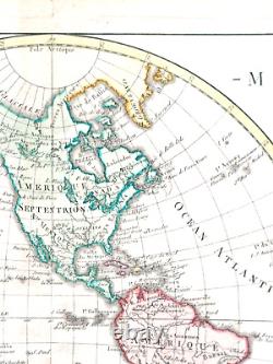
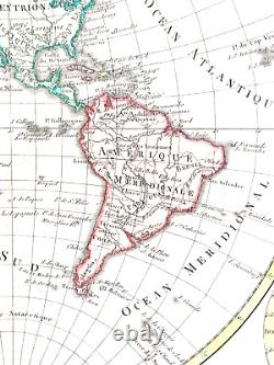
This is a large 18th century folding map of the Western Hemisphere, created by cartographer/publisher Rigobert Bonne and printed using copper plate technique. The sheet size is 15 x11 inches. The printed size of this beautiful hand-colored map is 9.25 x 13.25 inches. It is an antique original physical map and is available for sale in the North America Maps, Maps, Atlases & Globes, and Antiques categories. The map was published in 1780 and is perfect for collectors of historical cartography.
1780 Map of Western Hemisphere Rigobert Bonne Large 18th Century Map